Drone and satellite measurement tools are changing how fast a roof gets bid
What used to take a ladder and an afternoon now takes a flyover and a few minutes of processing — but the tools aren't interchangeable for every job.
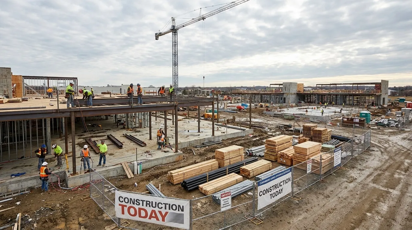
Aerial measurement — drones, satellite imagery, and aerial-photo measurement services — has moved from a novelty to a standard part of the estimating workflow for many roofing contractors, compressing what used to be a ladder-and-tape-measure afternoon into a desk task that takes minutes once imagery is captured.
What the tools actually do well
Satellite and aerial-photo measurement reports can generate a roof’s square footage, pitch, and facet count quickly, often before a contractor has even visited the property — useful for fast initial estimates and for sales reps quoting from the truck. Drone-captured imagery adds the ability to inspect condition (not just measure area) from the air, which speeds up damage documentation for insurance claims without putting anyone on a ladder before the contract is signed.
Where the tools fall short
Aerial measurement is only as good as the imagery and the conditions underneath it. Complex rooflines, heavy tree cover, or recent structural changes not yet reflected in satellite imagery can produce a measurement that’s meaningfully off from what a physical inspection would find — and a bid built on a bad aerial measurement either underbids the job or oversells the homeowner on materials they don’t need. Most experienced estimators treat aerial measurement as a fast first pass, not a replacement for a physical walk when the roofline is complicated or the job is large.
Insurance-restoration work raises the stakes
On claims work specifically, the measurement and documentation a contractor produces often gets compared directly against the insurance adjuster’s own scope. A drone-based damage report that’s thorough and well-documented can support a supplement request when an adjuster’s initial scope misses damage; a sloppy or incomplete one gives the carrier an easy reason to push back. The technology is only as useful as the documentation discipline behind it.
What to weigh before adopting
The decision isn’t really drone versus no drone — it’s how much measurement and documentation volume justifies the cost of equipment, software subscriptions, and the FAA certification required to fly commercially. Smaller contractors often start with a measurement-report subscription service before investing in their own drone and pilot certification, scaling up once volume justifies the in-house cost.
Bottom line: aerial measurement tools speed up estimating and claims documentation meaningfully, but they’re a complement to a physical inspection on complex or high-value jobs, not a full substitute.